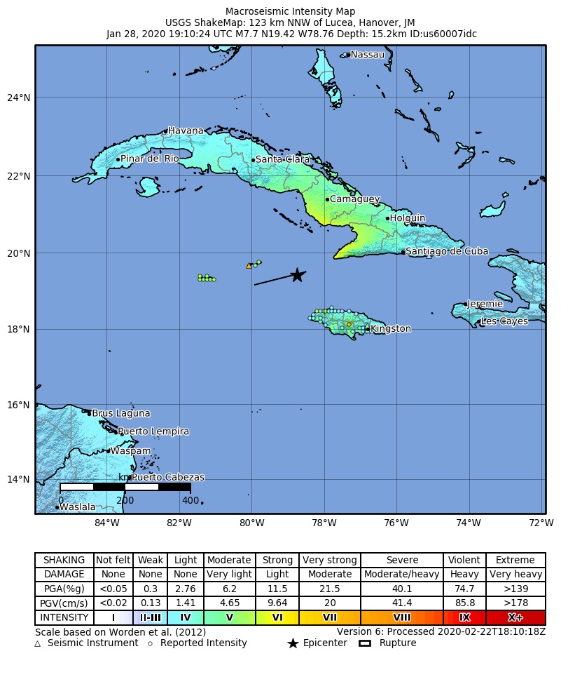
Dosya:2020-01-28 Lucea, Jamaica M7.7 earthquake shakemap (USGS).jpg
Bu önizlemenin boyutu: 498 × 600 piksel. Diğer çözünürlükler: 199 × 240 piksel | 398 × 480 piksel | 801 × 965 piksel.
Tam çözünürlük ((801 × 965 piksel, dosya boyutu: 222 KB, MIME tipi: image/jpeg))
Bu dosya Wikimedia Commons'ta bulunmaktadır. Dosyanın açıklaması aşağıda gösterilmiştir. Commons, serbest/özgür telifli medya dosyalarının bulundurulduğu depodur. Siz de yardım edebilirsiniz. |
.jpg)
Özet
| Açıklama | |
| Tarih | |
| Kaynak | https://earthquake.usgs.gov/earthquakes/eventpage/us60007idc |
| Yazar | ABD Jeoloji Araştırmaları Kurumu |
Lisanslama
2020-01-28 Lucea, Jamaica M7.7 earthquake shakemap (USGS).jpg adlı görüntü kamu malıdır çünkü içeriği, ABD İç İşleri Bakanlığı (United States Department of Interior) bünyesindeki bir daire olan Birleşik Devletler Jeolojik Etüd (BDJE; United States Geological Survey, USGS) kökenli özgün malzeme ile ilgilidir.
Daha ayrıntılı bilgi için, bakın: BDJE'nin resmi telif hakkı uygulaması.
|
Dosya geçmişi
Dosyanın herhangi bir zamandaki hâli için ilgili tarih/saat kısmına tıklayın.
| Tarih/Saat | Küçük resim | Boyutlar | Kullanıcı | Yorum | |
|---|---|---|---|---|---|
| güncel | 20.03, 22 Şubat 2020 | | 801 × 965 (222 KB) | Cewbot | Import USGS updated earthquake map, shakemap id: urn:usgs-product:us:shakemap:us60007idc:1582395141985 (2020-02-22T18:12:21.985Z) |
| 22.03, 31 Ocak 2020 |  | 802 × 964 (223 KB) | Cewbot | Import USGS updated earthquake map, shakemap id: urn:usgs-product:us:shakemap:us60007idc:1580501359598 (2020-01-31T20:09:19.598Z) | |
| 20.03, 29 Ocak 2020 |  | 799 × 960 (220 KB) | Cewbot | Import USGS updated earthquake map, shakemap id: urn:usgs-product:us:shakemap:us60007idc:1580325155311 (2020-01-29T19:12:35.311Z) | |
| 02.03, 29 Ocak 2020 |  | 799 × 950 (215 KB) | Cewbot | Import USGS updated earthquake map, shakemap id: urn:usgs-product:us:shakemap:us60007idc:1580247860334 (2020-01-28T21:44:20.334Z) | |
| 20.06, 28 Ocak 2020 |  | 799 × 1.021 (220 KB) | Cewbot | Import USGS earthquake map, shakemap id: urn:usgs-product:us:shakemap:us60007idc:1580240197323 (2020-01-28T19:36:37.323Z) |
Dosya kullanımı
Bu görüntü dosyasına bağlantısı olan sayfalar:
Küresel dosya kullanımı
Aşağıdaki diğer vikiler bu dosyayı kullanır:
- en.wikipedia.org üzerinde kullanımı
- es.wikipedia.org üzerinde kullanımı
- uk.wikipedia.org üzerinde kullanımı
- zh.wikipedia.org üzerinde kullanımı
.jpg)