Dosya:Gloucestershire UK locator map 2010.svg

Bu SVG dosyasının PNG önizlemesinin boyutu: 494 × 600 piksel. Diğer çözünürlükler: 198 × 240 piksel | 395 × 480 piksel | 633 × 768 piksel | 843 × 1.024 piksel | 1.687 × 2.048 piksel | 1.108 × 1.345 piksel.
Tam çözünürlük (SVG dosyası, sözde 1.108 × 1.345 piksel, dosya boyutu: 302 KB)
Bu dosya Wikimedia Commons'ta bulunmaktadır. Dosyanın açıklaması aşağıda gösterilmiştir. Commons, serbest/özgür telifli medya dosyalarının bulundurulduğu depodur. Siz de yardım edebilirsiniz. |
Özet
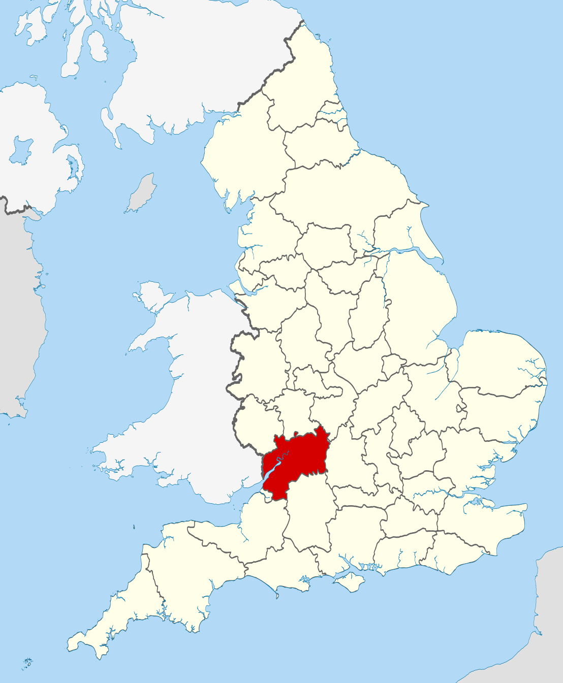
| Açıklama | Location of the ceremonial county of Gloucestershire within England. |
| Tarih | |
| Kaynak |
National Geospatial-Intelligence Agency
|
| Yazar | Nilfanion |
Lisanslama
Ben, bu işin telif sahibi, burada işi aşağıdaki lisanslar altında yayımlıyorum:
Bu dosya, Creative Commons Atıf-Benzer Paylaşım 3.0 Taşınmamış lisansı ile lisanslanmıştır
- Şu seçeneklerde özgürsünüz:
- paylaşım – eser paylaşımı, dağıtımı ve iletimi
- içeriği değiştirip uyarlama – eser adaptasyonu
- Aşağıdaki koşullar geçerli olacaktır:
- atıf – Esere yazar veya lisans sahibi tarafından belirtilen (ancak sizi ya da eseri kullanımınızı desteklediklerini ileri sürmeyecek bir) şekilde atıfta bulunmalısınız.
- benzer paylaşım – Maddeyi yeniden düzenler, dönüştürür veya inşa ederseniz, katkılarınızı özgünüyle aynı veya uyumlu lisans altında dağıtmanız gerekir.

|
Bu belgenin GNU Özgür Belgeleme Lisansı, Sürüm 1.2 veya Özgür Yazılım Vakfı tarafından yayımlanan sonraki herhangi bir sürüm şartları altında bu belgenin kopyalanması, dağıtılması ve/veya değiştirilmesi için izin verilmiştir;
Değişmeyen Bölümler, Ön Kapak Metinleri ve Arka Kapak Metinleri yoktur. Lisansın bir kopyası GNU Özgür Belgeleme Lisansı sayfasında yer almaktadır. |
İstediğiniz lisansı seçebilirsiniz.

|
This is one of the images forming part of the Valued image set: Locator maps of the Ceremonial counties of England on Wikimedia Commons. The image set has been assessed under the valued image set criteria and is considered the most valued set on Commons within the scope:
Locator maps of the Ceremonial counties of England
You can see its nomination at Commons:Valued image candidates/Locator maps of English ceremonial counties. |
Dosya geçmişi
Dosyanın herhangi bir zamandaki hâli için ilgili tarih/saat kısmına tıklayın.
| Tarih/Saat | Küçük resim | Boyutlar | Kullanıcı | Yorum | |
|---|---|---|---|---|---|
| güncel | 22.36, 23 Kasım 2010 | | 1.108 × 1.345 (302 KB) | Nilfanion | == Summary == {{Information |Description=Location of the ceremonial county of Gloucestershire within England. |Source=Ordnance Survey [https://www.ordnancesurvey.co.uk/opendatadownload/products.html OpenData]: * |
Dosya kullanımı
Bu görüntü dosyasına bağlantısı olan sayfalar:
Küresel dosya kullanımı
Aşağıdaki diğer vikiler bu dosyayı kullanır:
- af.wikipedia.org üzerinde kullanımı
- ang.wikipedia.org üzerinde kullanımı
- an.wikipedia.org üzerinde kullanımı
- arz.wikipedia.org üzerinde kullanımı
- ast.wikipedia.org üzerinde kullanımı
- be-tarask.wikipedia.org üzerinde kullanımı
- bg.wikipedia.org üzerinde kullanımı
- br.wikipedia.org üzerinde kullanımı
- br.wiktionary.org üzerinde kullanımı
- ca.wikipedia.org üzerinde kullanımı
- ceb.wikipedia.org üzerinde kullanımı
- cs.wikipedia.org üzerinde kullanımı
- da.wikipedia.org üzerinde kullanımı
- de.wikivoyage.org üzerinde kullanımı
- en.wikipedia.org üzerinde kullanımı
- Gloucestershire
- Tewkesbury Abbey
- Gloucester Cathedral
- Hailes Abbey
- Cambridge, Gloucestershire
- Coombe, Gloucestershire
- River Coln
- Kingswood, Stroud District
- Woodchester
- Ruardean Hill
- Winchcombe Abbey
- Avening Valley
- Amberley, Gloucestershire
- Cashes Green
- Parliamentary constituencies in Gloucestershire
- Brockhampton, Gloucestershire
- Bamfurlong, Gloucestershire
- Staverton, Gloucestershire
- Whiteshill, Stroud
- Winstone
- Ablington, Gloucestershire
- River Evenlode
- Template:Gloucestershire-geo-stub
- Workmans Wood, Sheepscombe
- River Cam, Gloucestershire
- Five Valleys
- Uckington, Gloucestershire
- Stoke Orchard
- Knightsbridge, Gloucestershire
- Coombe Hill, Tewkesbury
- Alstone, Tewkesbury
- Boddington, Gloucestershire
Bu dosyanın daha fazla küresel kullanımını görüntüle.