Dosya:Location map of Ogle County, Illinois.svg

Bu SVG dosyasının PNG önizlemesinin boyutu: 600 × 600 piksel. Diğer çözünürlükler: 240 × 240 piksel | 480 × 480 piksel | 768 × 768 piksel | 1.024 × 1.024 piksel | 2.048 × 2.048 piksel.
Tam çözünürlük (SVG dosyası, sözde 768 × 768 piksel, dosya boyutu: 236 KB)
Bu dosya Wikimedia Commons'ta bulunmaktadır. Dosyanın açıklaması aşağıda gösterilmiştir. Commons, serbest/özgür telifli medya dosyalarının bulundurulduğu depodur. Siz de yardım edebilirsiniz. |
Özet
| Açıklama |
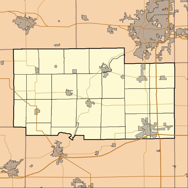
English: This is a map of Ogle County, Illinois, USA which includes township borders. |
| Tarih | |
| Kaynak | My own work, using custom-written MapScript applications with National Atlas and United States Census Bureau data |
| Yazar | Omnedon |
Lisanslama
| Ben, bu işin telif sahibi, bu işi kamu malı olarak yayınlıyorum. Bu dünya çapında geçerlidir. Bazı ülkelerde bu yasal olarak mümkün olmayabilir; öyleyse: Ben, bu işi herhangi bir amaç için, herhangi bir şart olmaksızın, yasalarca gerekli olmadıkça, herkesin kullanmasına izin veriyorum. |
Dosya geçmişi
Dosyanın herhangi bir zamandaki hâli için ilgili tarih/saat kısmına tıklayın.
| Tarih/Saat | Küçük resim | Boyutlar | Kullanıcı | Yorum | |
|---|---|---|---|---|---|
| güncel | 14.34, 23 Kasım 2010 | | 768 × 768 (236 KB) | Omnedon | == {{int:filedesc}} == {{Information |Description={{en|This is a map of Ogle County, Illinois, USA which includes township borders.}} |Source=My own work, using custom-written MapScript applications with [http://www.nationalat |
Dosya kullanımı
Bu görüntü dosyasına bağlantısı olan sayfalar:
Küresel dosya kullanımı
Aşağıdaki diğer vikiler bu dosyayı kullanır:
- ar.wikipedia.org üzerinde kullanımı
- azb.wikipedia.org üzerinde kullanımı
- ceb.wikipedia.org üzerinde kullanımı
- de.wikipedia.org üzerinde kullanımı
- en.wikipedia.org üzerinde kullanımı
- Adeline, Illinois
- Byron, Illinois
- Creston, Illinois
- Davis Junction, Illinois
- Forreston, Illinois
- Hillcrest, Illinois
- Leaf River, Illinois
- Mount Morris, Illinois
- Oregon, Illinois
- Polo, Illinois
- Rochelle, Illinois
- Stillman Valley, Illinois
- Grand Detour, Illinois
- Monroe Center, Illinois
- Baileyville, Illinois
- Chana, Illinois
- Kings, Ogle County, Illinois
- Lindenwood, Illinois
- Woosung, Illinois
- White Rock Township, Ogle County, Illinois
- Daysville, Illinois
- Egan, Illinois
- Paynes Point, Illinois
- Buffalo Grove, Ogle County, Illinois
- Flagg, Illinois
- Brookville, Illinois
- Module:Location map/data/USA Illinois Ogle County/doc
- Ogle County Airport
- Rochelle Municipal Airport
- Module:Location map/data/USA Illinois Ogle County
- User:CMadeo (WMF)/sandbox
- User:CMadeo (WMF)/grand detour
- fa.wikipedia.org üzerinde kullanımı
Bu dosyanın daha fazla küresel kullanımını görüntüle.