Dosya:The Ship Keyingham.jpg
The_Ship_Keyingham.jpg ((640 × 474 piksel, dosya boyutu: 81 KB, MIME tipi: image/jpeg))
Bu dosya Wikimedia Commons'ta bulunmaktadır. Dosyanın açıklaması aşağıda gösterilmiştir. Commons, serbest/özgür telifli medya dosyalarının bulundurulduğu depodur. Siz de yardım edebilirsiniz. |
Özet
| Açıklama |
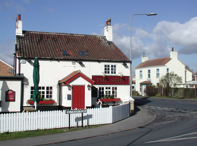
English: The Ship, Keyingham, East Riding of Yorkshire, England. This unassumingly named pub on the corner of Saltaugh Road and Main Street gets its title from one fleeting moment when the village of Keyingham was of some interest to historians.
|
| Tarih | |
| Kaynak | From geograph.org.uk |
| Yazar | Paul Glazzard |
| İzin (Bu dosyanın tekrar kullanımı) |
Creative Commons Attribution Share-alike license 2.0 |
| Atıf (required by the license) | Paul Glazzard / The Ship, Keyingham / |
| Kamera pozisyonu | | Bu ve diğer görüntülerin konumlarını şurada belirle: OpenStreetMap |
|---|
Lisanslama

|
Bu Coğrafya projesinden alınmış olan bir görüntüdür. Coğrafi internet sitesinde bulunan bu fotoğraf sayfasından fotoğrafçıya ait iletişim bilgilerine ulaşabilirsiniz. Bu görüntünün telif hakkı sahibi Paul Glazzard olup, yeniden kullanılması amacıyla Creative Commons Attribution-ShareAlike 2.0 lisansı ile lisanslandırılmıştır.
|
- Şu seçeneklerde özgürsünüz:
- paylaşım – eser paylaşımı, dağıtımı ve iletimi
- içeriği değiştirip uyarlama – eser adaptasyonu
- Aşağıdaki koşullar geçerli olacaktır:
- atıf – Esere yazar veya lisans sahibi tarafından belirtilen (ancak sizi ya da eseri kullanımınızı desteklediklerini ileri sürmeyecek bir) şekilde atıfta bulunmalısınız.
- benzer paylaşım – Maddeyi yeniden karıştırır, dönüştürür veya inşa ederseniz, katkılarınızı orijinal olarak aynı veya uyumlu lisans altında dağıtmanız gerekir.
Dosya geçmişi
Dosyanın herhangi bir zamandaki hâli için ilgili tarih/saat kısmına tıklayın.
| Tarih/Saat | Küçük resim | Boyutlar | Kullanıcı | Yorum | |
|---|---|---|---|---|---|
| güncel | 19.35, 10 Şubat 2010 | | 640 × 474 (81 KB) | Keith D | == {{int:filedesc}} == {{Information |Description={{en|1=The Ship, Keyingham, East Riding of Yorkshire.<br />This unassumingly named pub on the corner of Saltaugh Road and Main Street gets its title from |
Dosya kullanımı
Bu görüntü dosyasına bağlantısı olan sayfalar:
Küresel dosya kullanımı
Aşağıdaki diğer vikiler bu dosyayı kullanır:
- ang.wikipedia.org üzerinde kullanımı
- ceb.wikipedia.org üzerinde kullanımı
- en.wikipedia.org üzerinde kullanımı
- es.wikipedia.org üzerinde kullanımı
- eu.wikipedia.org üzerinde kullanımı
- fr.wikipedia.org üzerinde kullanımı
- lld.wikipedia.org üzerinde kullanımı
- pl.wikipedia.org üzerinde kullanımı
- sv.wikipedia.org üzerinde kullanımı
- www.wikidata.org üzerinde kullanımı